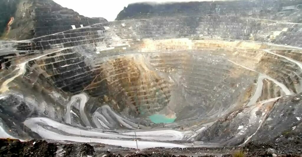
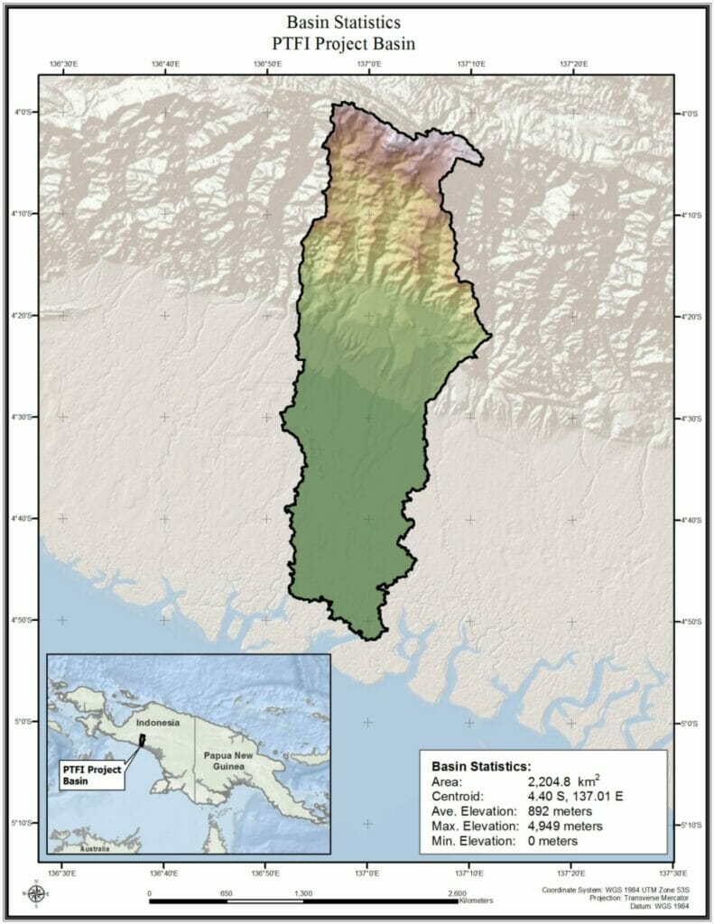
Site-specific meteorological and climatological analyses were completed for a large mining operation in the complex terrain that extends from the mountainous area at nearly 5000 meters on the island of Papua New Guinea to the coastal region directly to the south. These analyses developed PMP, annual exceedance probability, climate change assessments, long term climatologies, stochastic weather outputs, SPAS gridded rainfall analyses for model calibration, and precipitation frequency recurrence intervals for IDF analysis. This information was consolidated into a GIS tool and provided for detailed hydrologic and engineering design and environmental assessments applications.
AWA unique gridded process allowed all of these outputs to be developed for the entire domains which encompassed the entire region from the mountains to the coastal region and greatly improved the accuracy of the outputs. This also provided the flexibility to evaluate the hydrology of the region for any locations within the entire domain down to a single point. All outputs were presented as part of a detailed presentation involving all study participants to explain the methods, projections, and recommendations and included in a detailed set of documentation.
