Results of this analysis reflect the current standard of practice used for defining PMP, including comprehensive storm analyses procedures, extensive use of geographic information systems (GIS), explicit quantification of orographic effects, updated sea surface temperatures for storm maximization, and storm specific temporal patterns, and improved understanding of the weather and climate related to extreme throughout the region. This updates one of the oldest HMRs, HMR 39 published in 1963.
In comparison to the HMR 39, the new study provides:
- Gridded dataset within GIS platform relies on computer analysis versus human interpretation of contours
- Reviewed 60 years of new data that resulted in including 24 new storms for analysis that were not accounted for in the HMRs
- PMP results available for any location on any of the islands down to a single grid point
- Dynamically updated storm database and reproducible results
- Includes temporal and spatial distributions of PMP rainfall events
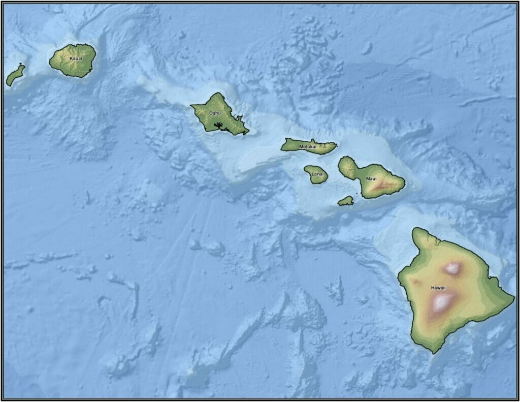
The new PMP estimates are available from a single grid point to the entire island chain. When compared to previous PMP depths provided in HMR 39, the updated values from this study resulted in a wide range of reductions for most basin sizes and storm durations, with some regions resulting in increases. Our updated PMP depths capture the extreme variations in precipitation depths that encountered across the islands. PMP depths are highest on the wet, windward mountain slopes and driest on the leeward coastal region. These spatial variations in PMP depth, match the general weather patterns of the region related to the unique storm types that affect Hawaii, Kona lows, upper level troughs and cut off lows, tropical systems, and thunderstorms. This study explicitly considered storm environments and how they are affected moisture availability, topography, and storm dynamics. Data, assumptions, and analysis techniques used in this study have been reviewed and accepted by the study review board and Hawaii DLNR.

